NOCAT Route 5 (route pdf ) Downloadable Garmin link
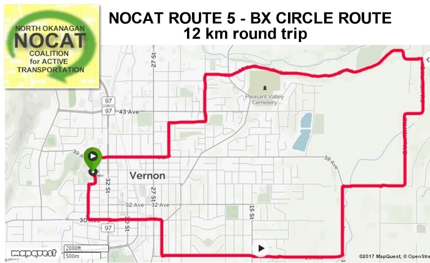
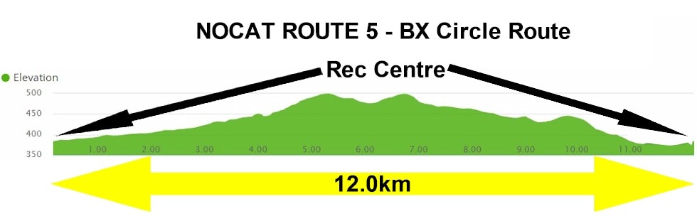
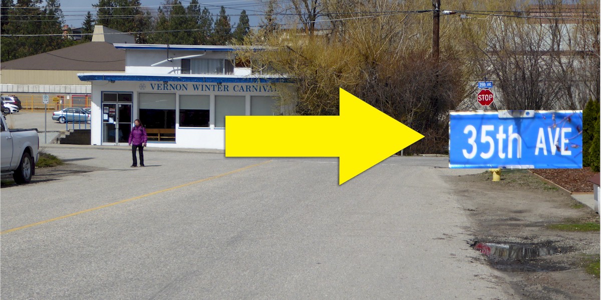
All routes begin at the Vernon Recreation Centre, 3310 37th Avenue, Vernon BC, V1T 2Y5. There are washrooms, a café and plenty of parking depending on scheduled events. The distance calculations for this route begin at the bridge at the main entrance on the east side of the building. Generally speaking, Vernon Avenues (Av.) go East/West (E/W) and Streets (St.) go North/South (N/S).
Route Description: Longer skilled route
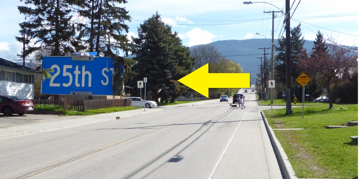
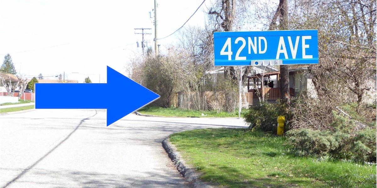
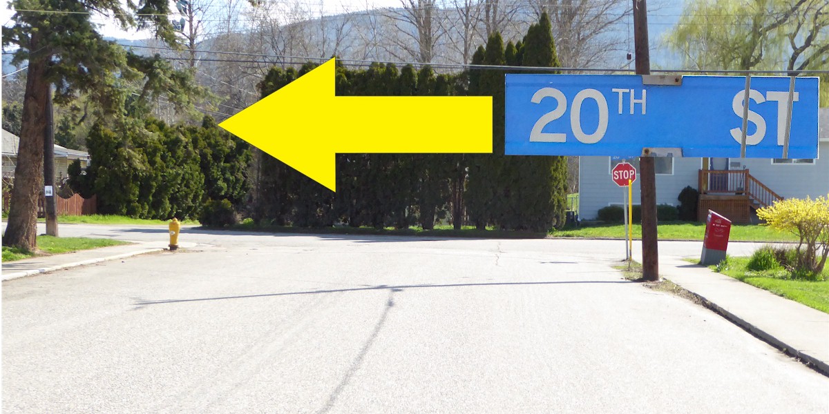
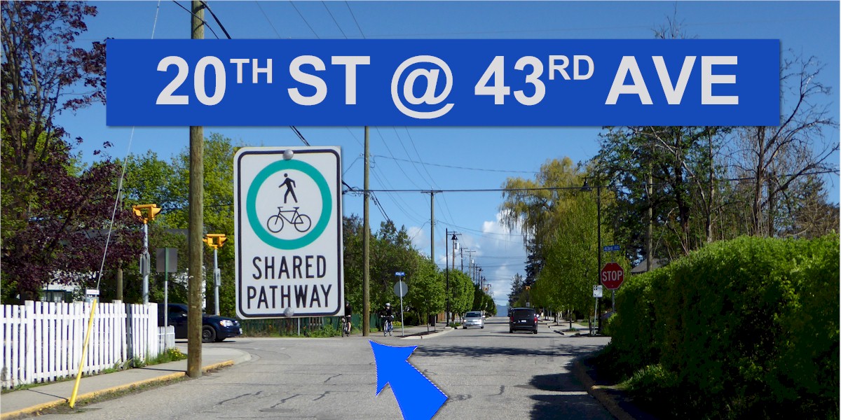
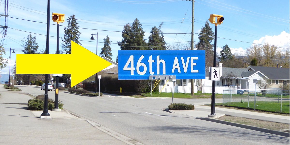
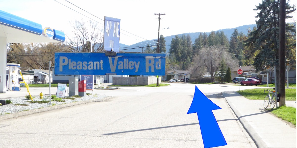
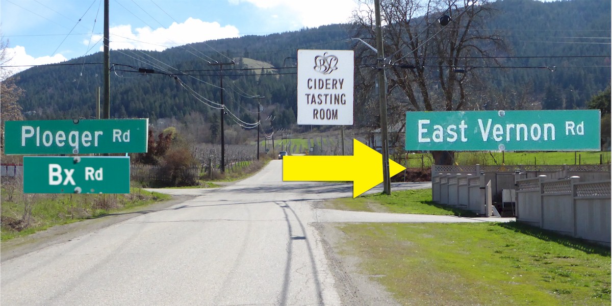
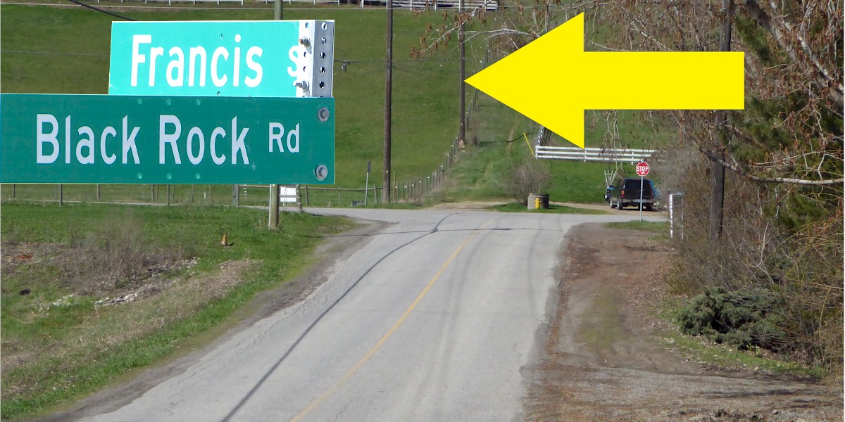
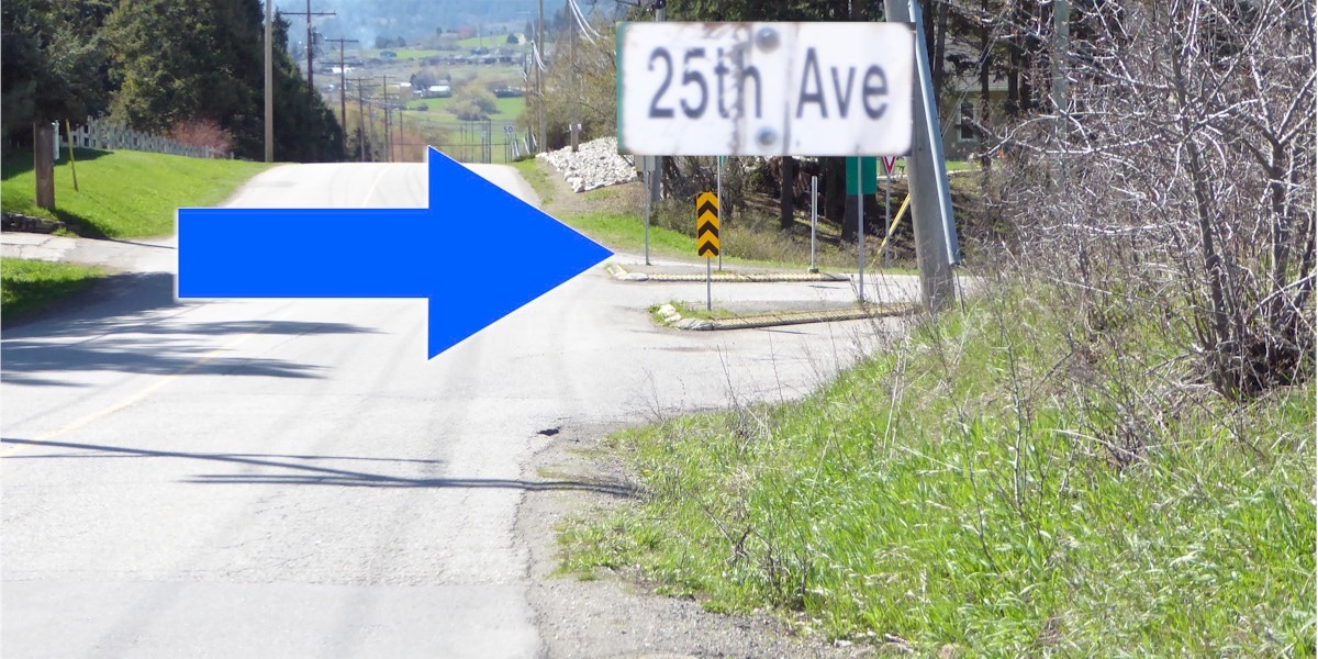
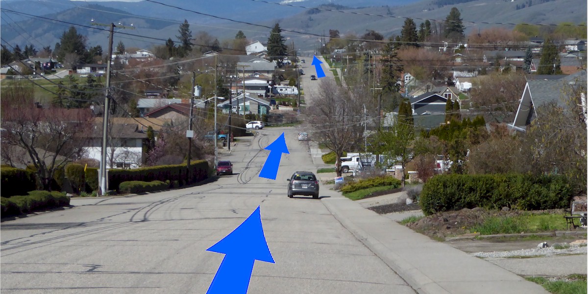
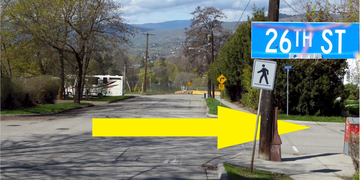
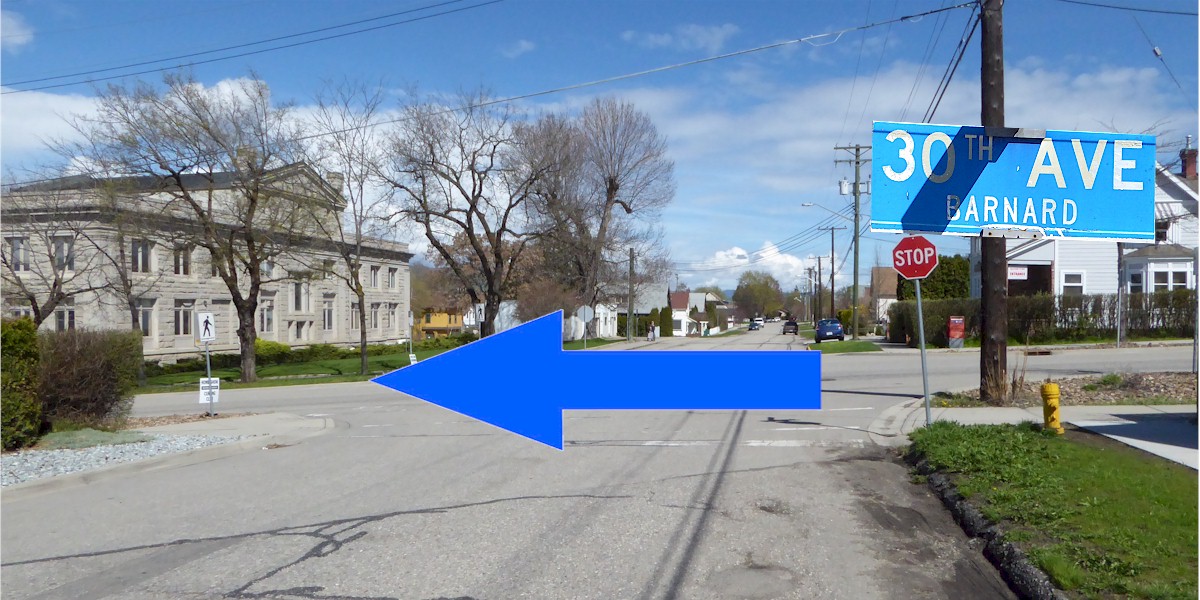
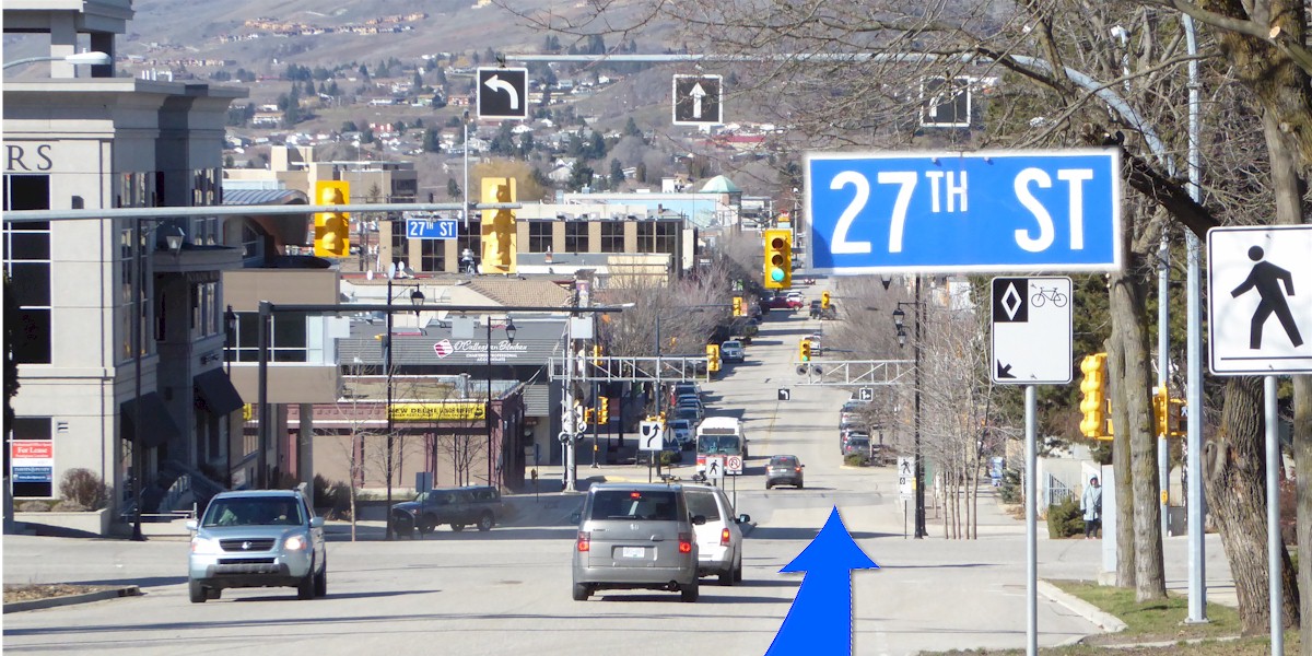
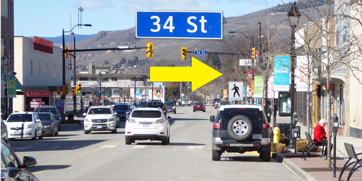
Will take riders to the BX area via 39th Av., past Bean to Cup to 25th St., South to 42nd Av. east to 20th St. South to 46th Av. East crossing PV into the BX, where you will find the BX Press & Cidery then South on East Vernon Road, connect with Black Rocks, West on Black Rocks, South on Francis, West on 25th Av. and Cool Beans Coffee, all the way down the hill to 26th St., turn right North to 30th Av., West into Historic Downtown Vernon where you can enjoy many fine shops and eateries, then continue to 34th St. North to return to the Rec Centre.
Route Description: Longer skilled route
Will take riders to the BX area via 39th Av., past Bean to Cup to 25th St., South to 42nd Av. east to 20th St. South to 46th Av. East crossing PV into the BX, where you will find the BX Press & Cidery then South on East Vernon Road, connect with Black Rocks, West on Black Rocks, South on Francis, West on 25th Av. and Cool Beans Coffee, all the way down the hill to 26th St., turn right North to 30th Av., West into Historic Downtown Vernon where you can enjoy many fine shops and eateries, then continue to 34th St. North to return to the Rec Centre.
Designed by members of the North Okanagan Coalition for Active Transportation (NOCAT)
Disclaimer: Please take responsibility for your own actions, watch for traffic, be careful.
In case of Emergency Call 911
Disclaimer: Please take responsibility for your own actions, watch for traffic, be careful.
In case of Emergency Call 911